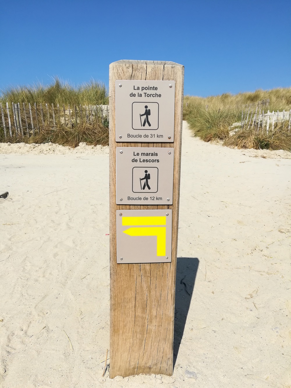
Circuit le marais de Lescors

 Foot
Foot
 03h00
03h00
 Medium
 11,7 km

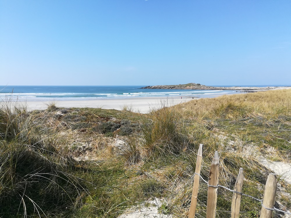
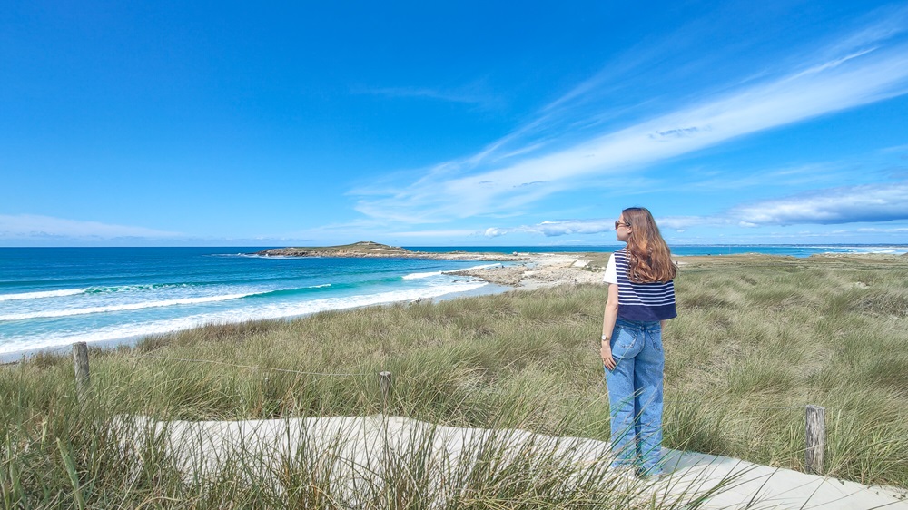

Discover the flat Bigouden countryside.
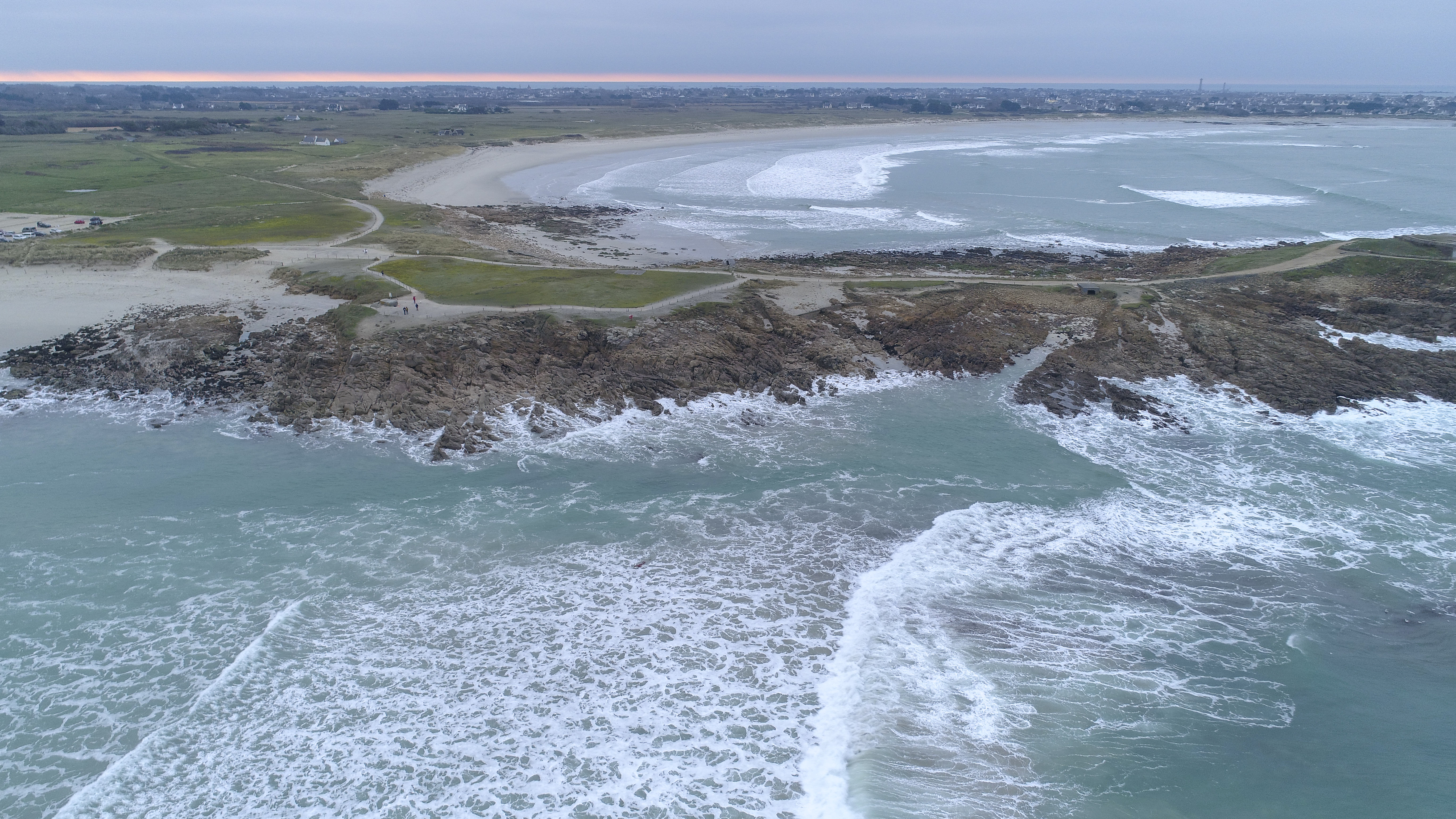
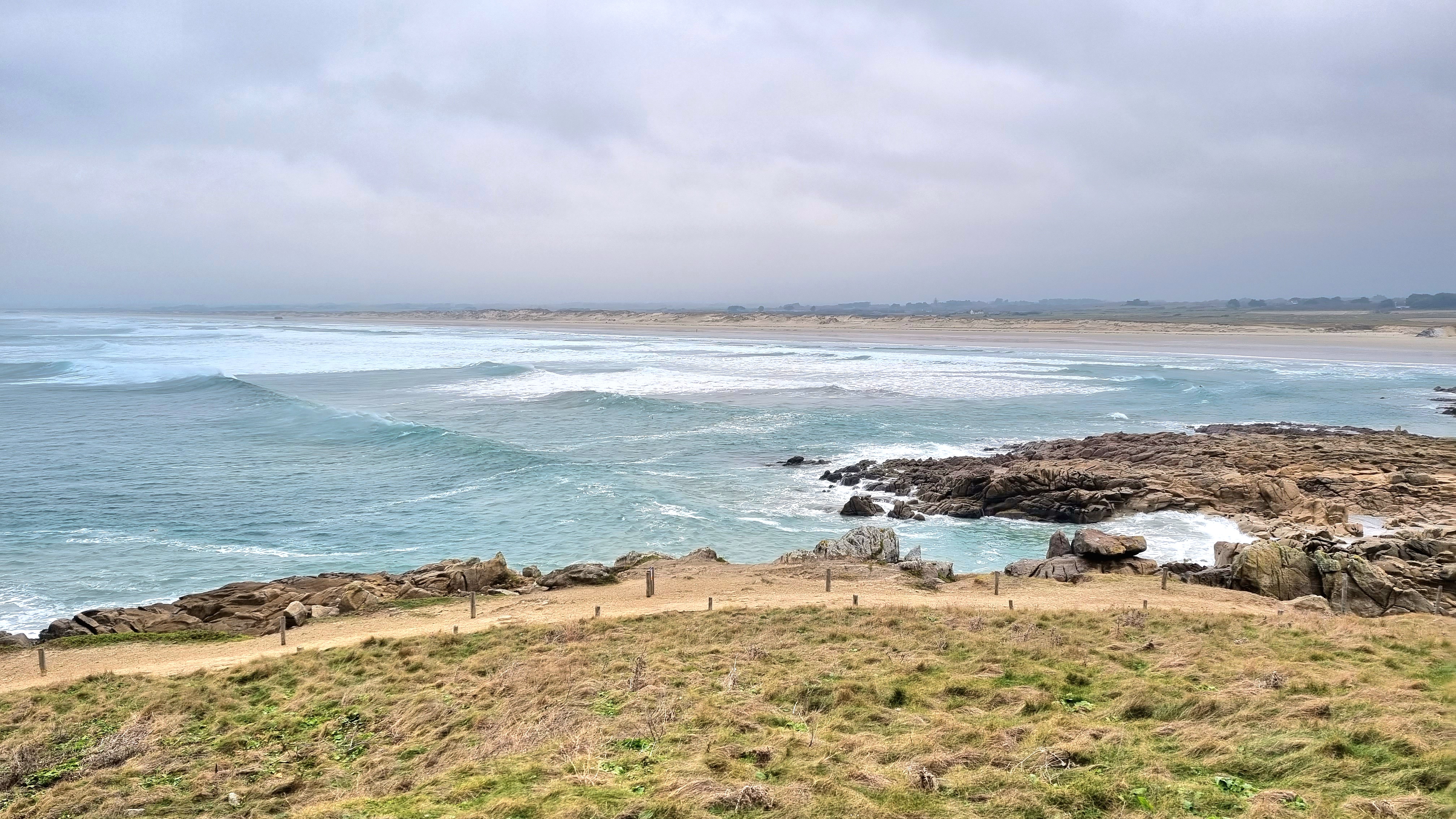
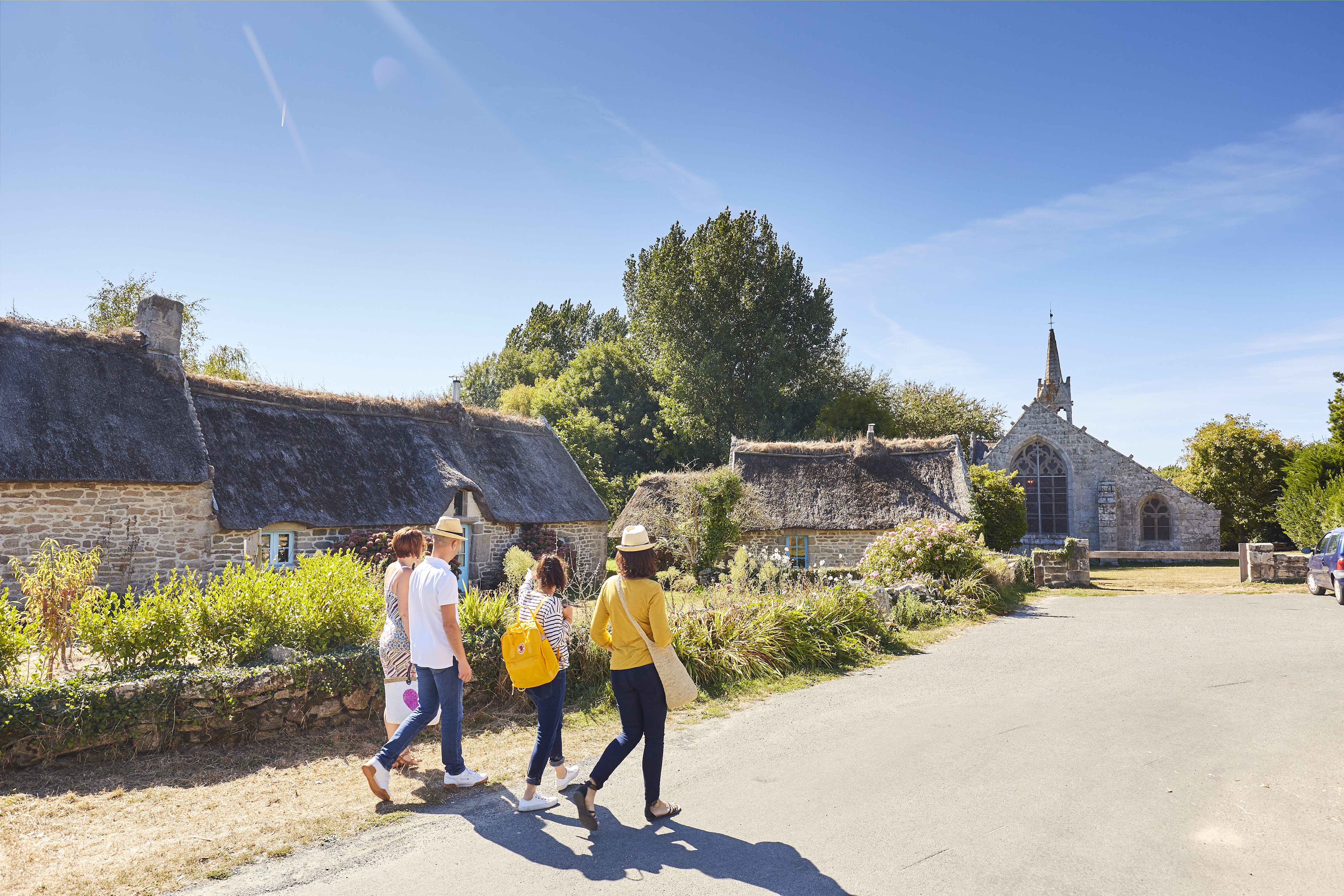
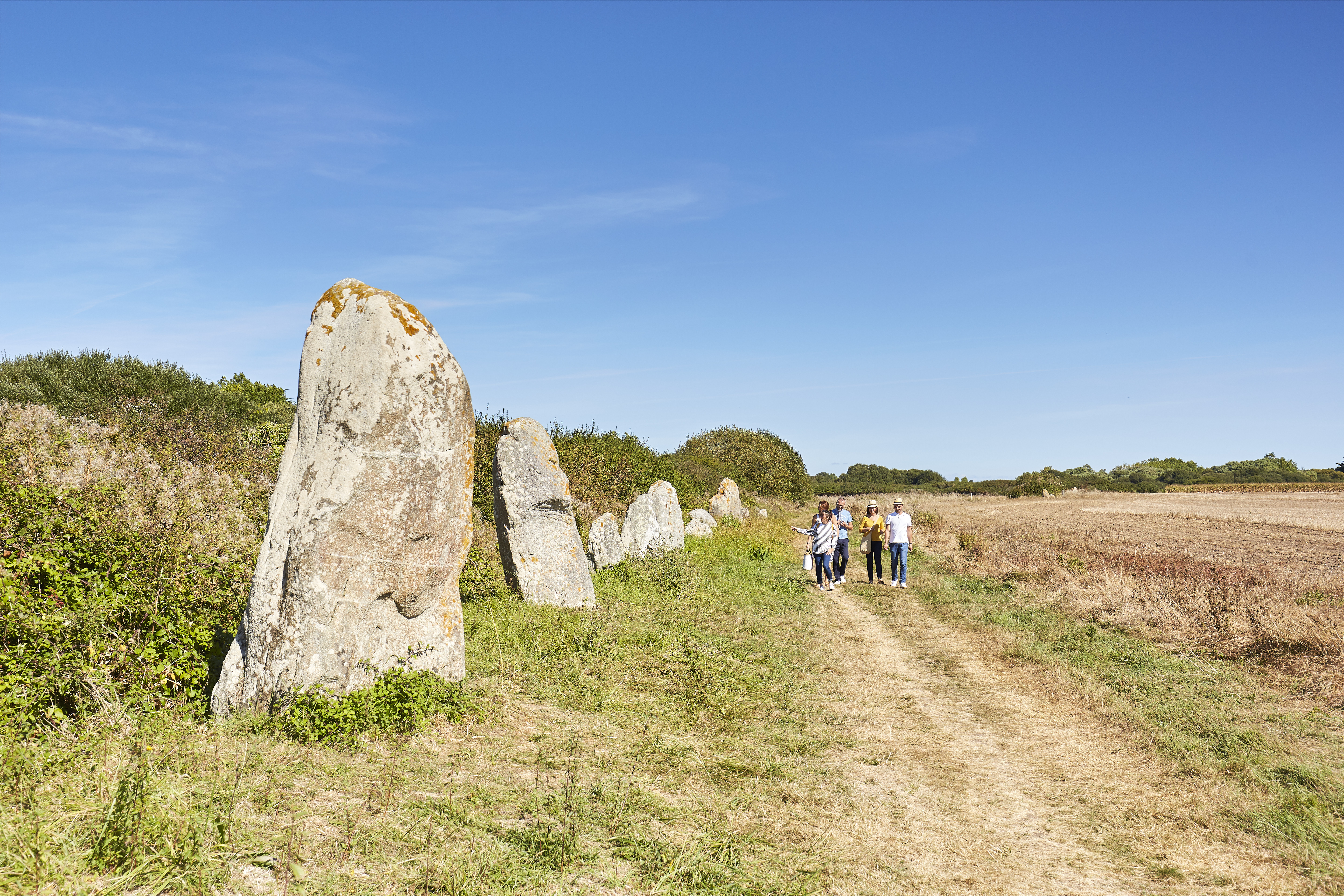
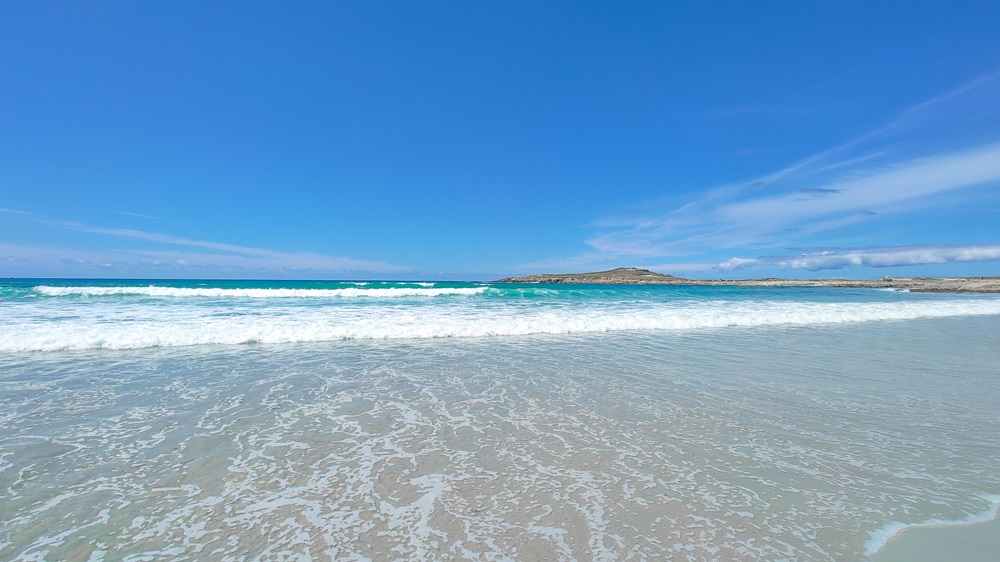
This walk combines seaside walking and heritage interest, including the chapel of La Madeleine, the 55 menhirs of Lestriguiou and the Pointe de la Torche, a legendary surf spot.
Between mid-March and mid-April, don't miss the tulip fields in flower at La Torche.
Start/Finish point: Car park at the Pointe de La Torche in Plomeur
Signposts: yellow PR and white-red GR® 34
Field markings always take precedence over paper or digital documents.
Difference in altitude: 65.89m
Direction of route: anticlockwise
Warning: Cattle are allowed to roam freely. Dogs are not allowed to frighten them. Muddy passages in winter in the marshes.
Practical information :
-Public toilets available next to the car park.
A little extra :
Between mid-March and mid-April, don't miss the fields of tulips in bloom at La Torche.
Advice before setting off :
Make sure you're well equipped before you leave: drinks, snacks and a bag to take your rubbish in.
Notice to walkers:
-To respect the integrity of the natural environment you are crossing, it is essential to attach rubber tips to the ends of your poles.
-You are liable as a walker in the event of an accident resulting from carelessness or inattention on your part.
-Remain discreet and courteous with other users and local residents.
Walking with your dog:
-Please note that dogs are not permitted on this route.
-It passes through sensitive natural areas and zones where livestock may roam freely.
To view the variants and the route in detail, we recommend that you download an application that reads GPX files (openrunner, gpx viewer or any other application that reads gpx files of your choice).