Walkers’ information map
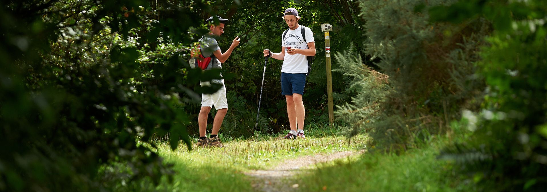
Go walking and hiking safely in Finistère!
When you start planning your walk, check our interactive map for any closed or diverted sections. The great news is that more than 95% of our footpaths have been opened and restored since the Ciaran storm in November 2023. So put on your hiking boots and set off to explore Finistère with total peace of mind.

*This map has been produced in partnership with the Committee of the French Hiking Association FFRandonnée Finistère, supported by the ONF. For more information on diversions, visit finistere.ffrandonnee.fr
GR® and GR® de Pays are registered trademarks of the FFRandonnée, designating the routes created by the FFRandonnée and identified as either ‘GR®’, marked with white-red symbols or ‘GR® de Pays’, marked with yellow-red symbols. Any reproduction of these routes and markings must have the express prior authorisation of FFRandonnée.
Let’s all play our part!
We encourage everyone to play their part in ensuring the quality of our sites. Suricate allows you to report any problems you encounter when enjoying sports in the natural environment.
If you see a signposting error, a damaged sign, a pollution problem, a need for safety measures or even if there’s a conflict with a landowner or other users, just fill in the form and tell us where the problem is!

Let us guide you!
Follow your steps with:
MaRando® is the official application of the French Hiking Association (FFR), helping you to organise and enjoy your hike on all the GR®, GR®de Pays and PR walking paths.