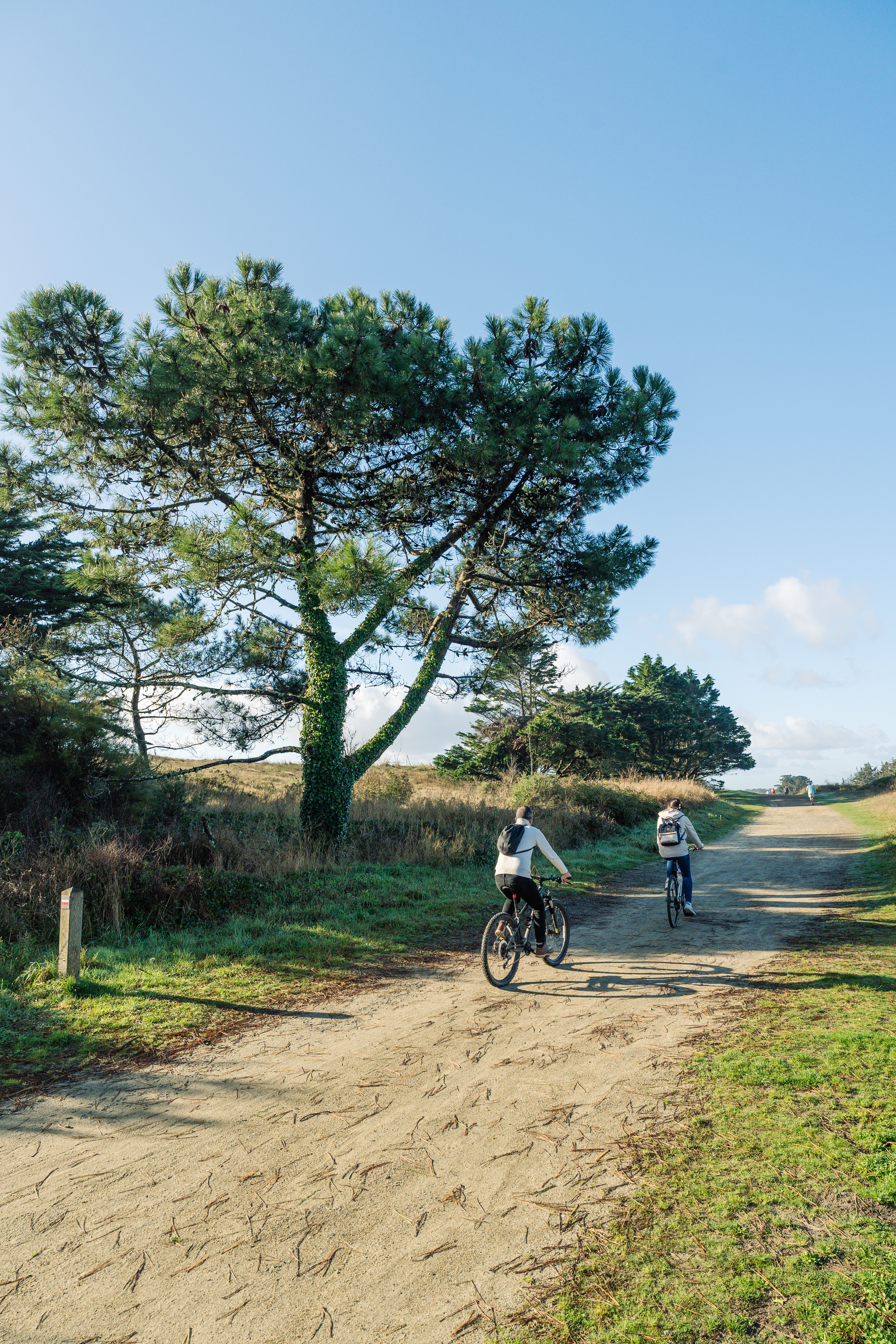
Boucle VTT n°2 Combrit

 Mountain biking
 01h15
01h15
 Easy
Easy
 24,1 km
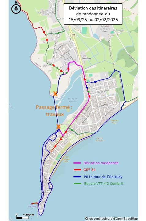
Work to rehabilitate the Kermor dike sluice gate system between the communes of Combrit and Ile-Tudy will start on Monday 15 September and is expected to last around 4 months.
To ensure the safety of hikers and mountain bikers, a diversion will be put in place early next week. The diversion will pass through Pen Diry and then follow the shoulder of the RD144 to reach the south of the Kermor dyke, as when the Kermor footbridge was changed (see map in image).
Discover the East Bigouden region and the typical villages of Sainte-Marine and l'île-Tudy.
This mountain bike loop will take you along the banks of the Odet, through the undergrowth and along the river estuary at Pont-l'Abbé. During the ride, stop to admire the view over Bénodet from the small heritage port of Sainte-Marine or enjoy a drink on the terrace of the old fishing village of Ile-Tudy.
Start/Finish point: Place Grafenhausen Combrit
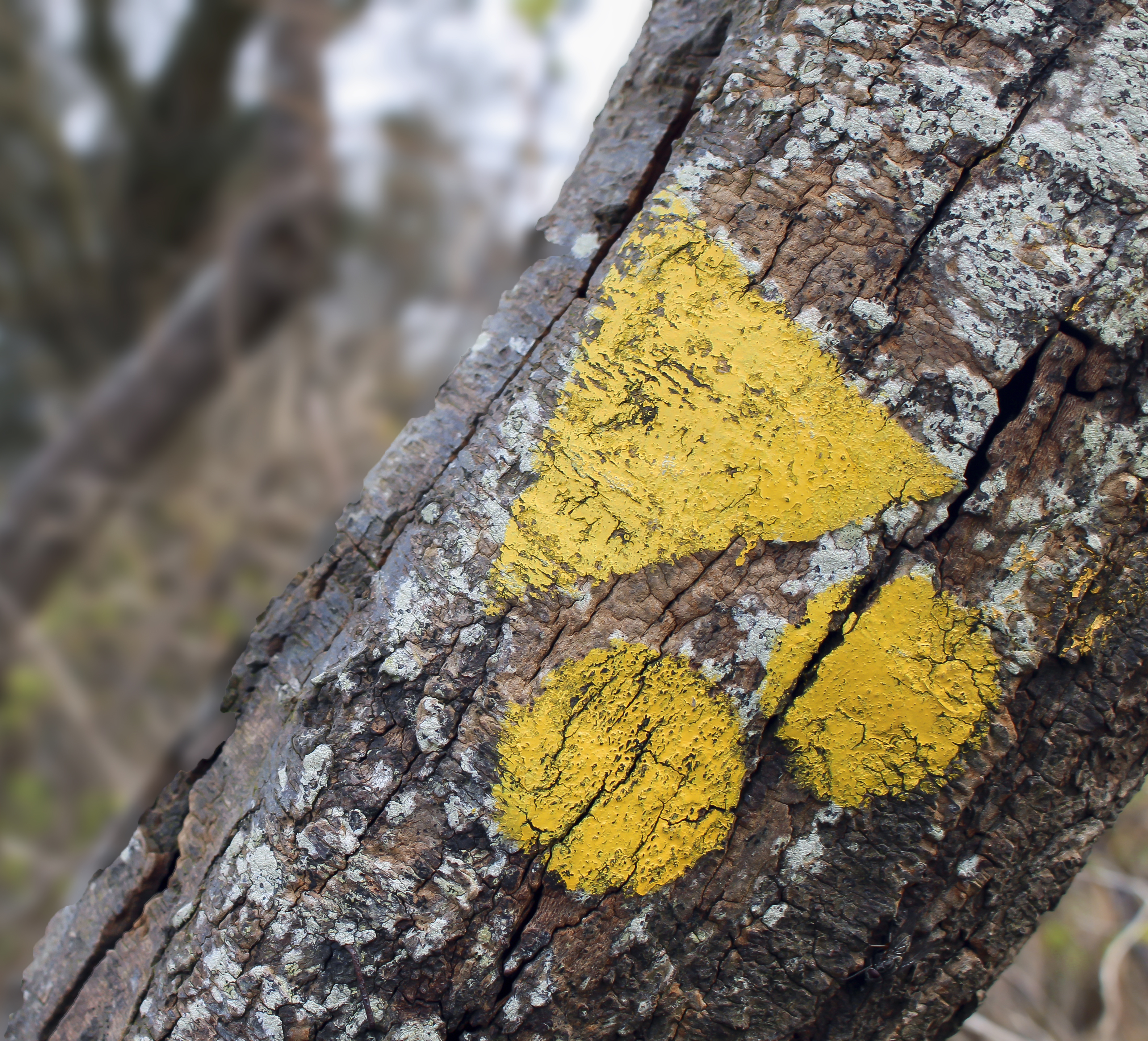
Signposting: The signposting on the ground always takes precedence over the documents. If there are no markings, follow the path.
Difference in altitude: 167.92 D+ (+)
Direction of route: anticlockwise
Warning: Cross the RD44 at Pen ar Garn only from north to south (insufficient visibility in the other direction).
Practical information :
-Public toilets available on the route
-The route passes through a playground
-There is a picnic area on the route.
Advice before setting off:
-Make sure you're properly equipped before you set off: check the condition of your bike (brakes, lights, tyres) and make sure you have everything you need for repairs. Wear a helmet: it's compulsory for under-12s and strongly recommended thereafter. Yellow waistcoats are compulsory outside built-up areas where visibility is poor.
-Share the road and respect the rules: pedestrian areas, pavements.
-Take something to eat and drink with you.
Rules and good practice:
-Make sure you don't leave any objects or rubbish behind: if there are no bins, take your rubbish with you.
-Respect the fragile balance of flora and fauna in all areas.
-Respect private property.
To view the variants and the route in detail, we recommend that you download an application that reads GPX files (openrunner, gpx viewer or any other application that reads gpx files of your choice).
Points of interest
Practical information
Address of departure
Place Grafenhauser 29120 Combrit Sainte-MarineDowloads
GPX / KML files allow you to export the route of your walk to your GPS (or other navigation tool)