
Boucle du Bois du C'Hleger - fermeture temporaire

 Mountain biking
 02h00
 Easy
 18 km
⚠ A fire broke out on 5 October 2026 at a place called Quistillic, south of the Argol Forest, and is affecting the route. ⚠
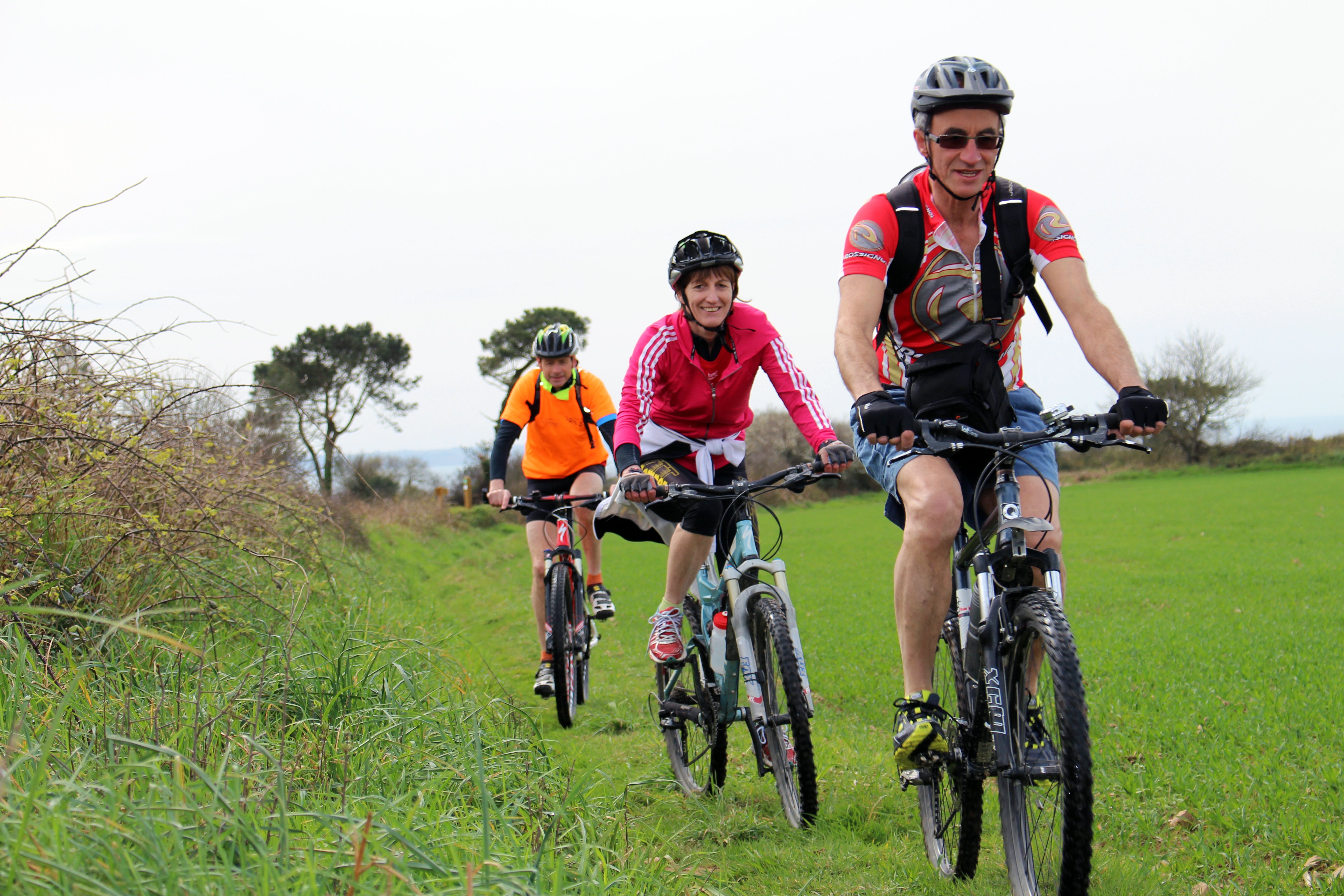
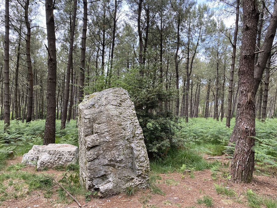
Head for the summits of Argol’s “mountain”! You can set off from the square by Argol church, or from the hamlet of Saint-Jean-en-Saint-Nic… This route, winding through woodland with sea views, is very varied and has some lovely surprises in store…. Will you spot any megaliths during your mountain bike ride?
The start of this loop is right in the centre of Argol, just next to the enclosure and the statue of King Gradlon.
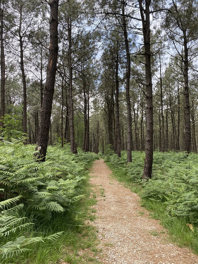
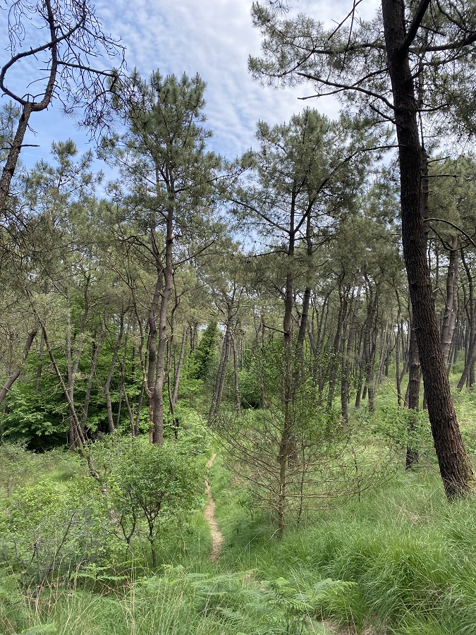
From the first kilometre, you’ll enter Argol’s communal forest. The route follows a fitness trail through a beautiful (and peaceful!) pine forest.
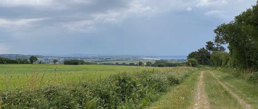
At the 5th kilometre, a panoramic view opens up over Menez-Hom, as well as Pentrez beach… Wow! From here, you can admire two of the area’s most notable attractions!
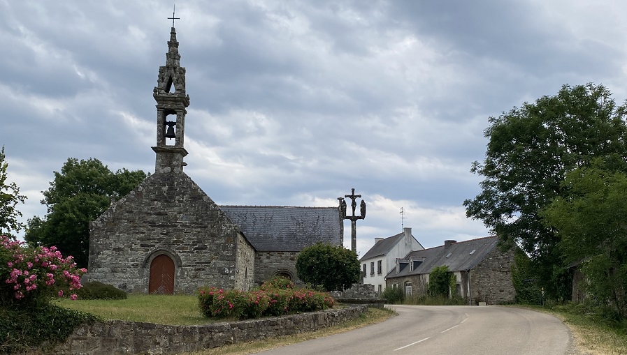
The route then takes you downhill for a good three kilometres to the Saint-Jean chapel, which stands by the roadside. Things are getting tougher! From the 8th to the 11th kilometre, a gradual climb reaches a gradient of 6 per cent. As a reward, a lovely view opens up at Coathérel. But it doesn’t stop there! A 1.3-kilometre climb varies between gradients of 4 and 14 per cent.… After 13 kilometres, it’s a ‘leg-breaking’ climb that demands careful pacing.
Inevitably, at some point, you head back down and give your calves a rest… Once you’ve conquered this hill, it takes you on a descent along gravelly forest tracks through the Argol communal forest. Return to the starting point in the village of Argol.
A summary from our ‘tester’, Léo:
“It’s a relatively accessible route for hybrid and mountain bikes. Half the route is on the road, but it’s still very pleasant to ride. You can admire beautiful scenery, such as the Argol communal forest, panoramic views of the ocean and the unmissable Menez-Hom. Although the final climb is challenging, the gravelly forest tracks make this route very rideable. It is therefore suitable for riders of all technical and fitness levels. What’s more, this route is very well signposted and maintained.”
Points of interest
Practical information
Address of departure
Saint-Jean 29550 Saint-NicDowloads
GPX / KML files allow you to export the route of your walk to your GPS (or other navigation tool)