Circuit d'interprétation de Pont-l'Abbé

 Foot
Foot
 00h45
00h45
 Easy
Easy
 2,17 km
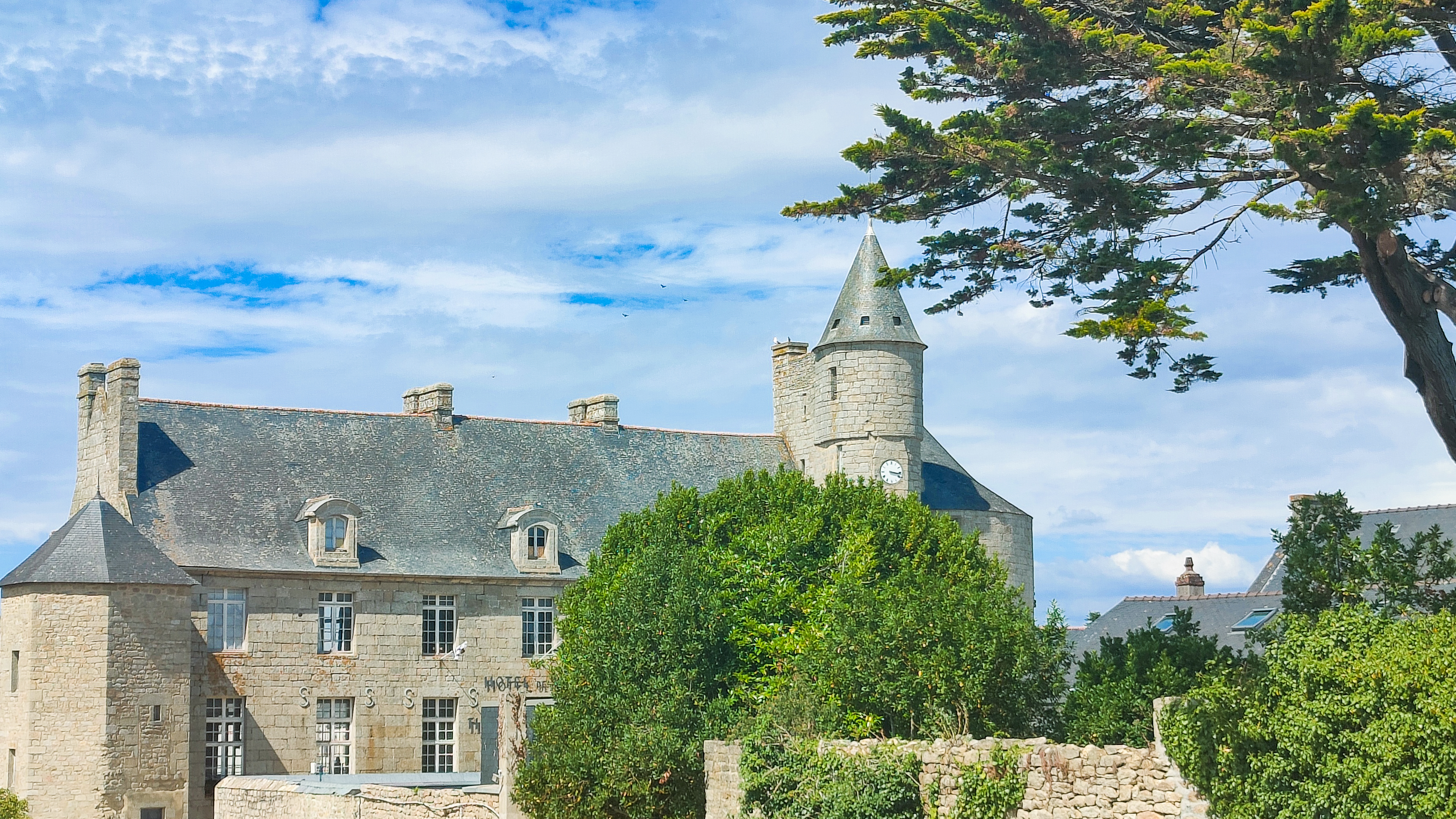
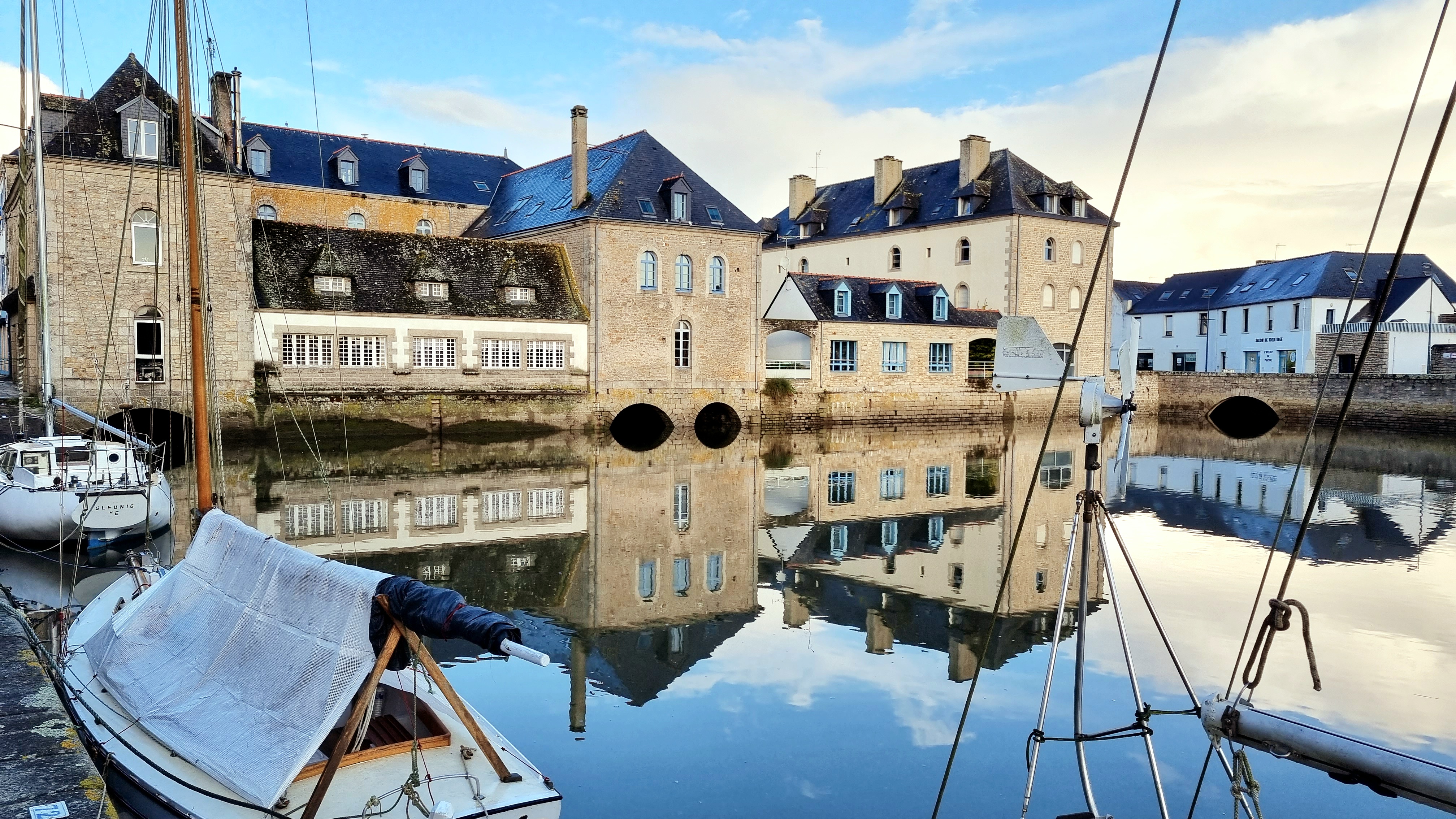
Discover the interpretation trail along the Pont-l'Abbé river. It will guide you and help you discover the history and richness of this river: birds, the history of Pont-l'Abbé castle and the evolution of the estuary.
Start/Finish point: Château des barons du pont
Markings on the ground always take precedence over paper or digital documents.
Difference in altitude: 10D+.
-There is a picnic area along the route.
-Public toilets available on the route
Advice before setting off:
Make sure you're well equipped before you set off: drinks, snacks and a bag to take your rubbish in.
Notice to walkers:
-As a walker, you are liable for any accident resulting from carelessness or inattention on your part.
-Remain discreet and courteous with other users and local residents.
Walking with your dog:
As the route passes through a built-up area, you must keep your dog on a lead for the duration of the walk.
To see the route in detail, please download the pdf below. Don't forget to download an application that reads GPX files (openrunner, gpx viewer or any other application that reads gpx files of your choice).