Boucle VTT n°5 Saint-Kodelig

 Mountain biking
 03h15
03h15
 Medium
 35 km
35 km


You'll be walking through the countryside of the Haut Pays Bigouden, with its varied landscapes: farmland, wild garennes, steep-sided valleys and a foray to the seaside towards the little port of Penhors. Don't miss the small rural heritage sites - menhirs, mills, chapels - and the signposts on the interpretation trail "In the footsteps of the Cheval d'Orgueil" that line part of the route.
Departure point: Place Corentin Hénaff
Other possible departure points:
Penhors: seaside car park, turn left towards Pouldreuzic along the small coastal road.
Plovan: Place du Figuier car park
Tréogat: town hall car park, take the road opposite the town hall.
Difference in altitude: 180 m
On-site signposting always takes precedence over paper or digital documents.
Advice before setting off:
Make sure you're properly equipped before setting off: check the condition of your bike (brakes, lights, tyres) and make sure you have everything you need for repairs. Wear a helmet: it is compulsory for under-12s and strongly recommended thereafter. Yellow waistcoats are compulsory outside built-up areas where visibility is poor.
Share the road and respect the rules: pedestrian areas, pavements.
Take something to eat and drink with you.
Two crossings of the RD 2.
Rules and good practice:
Make sure you don't leave any objects or rubbish behind: if there are no bins, take your rubbish with you.
Respect the fragile balance of flora and fauna at all times.
Respect private property.
To view the variants and the route in detail, we recommend that you download an application that reads GPX files (openrunner, gpx viewer or any other application that reads gpx files of your choice).
Points of interest
1 Site mégalithique St Kodelig
Le ménage de Saint Kodélig est composé de :
- une stèle gauloise à facettes, appelée "motte de beurre" en référence au beurre moulé d'autrefois ;
- un menhir dit "l'armoire"
- une roche creusée par l'érosion, dite "le lit".
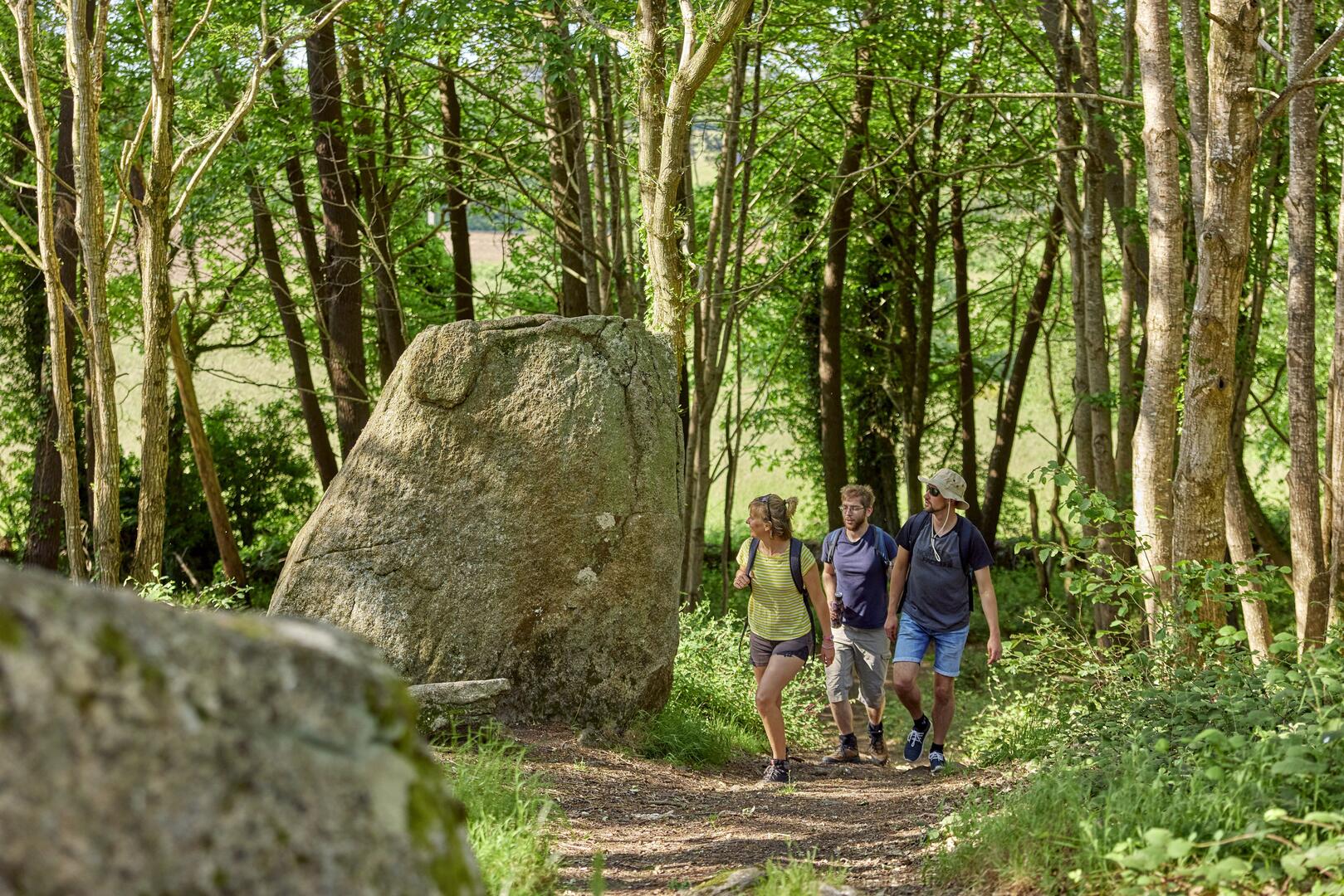
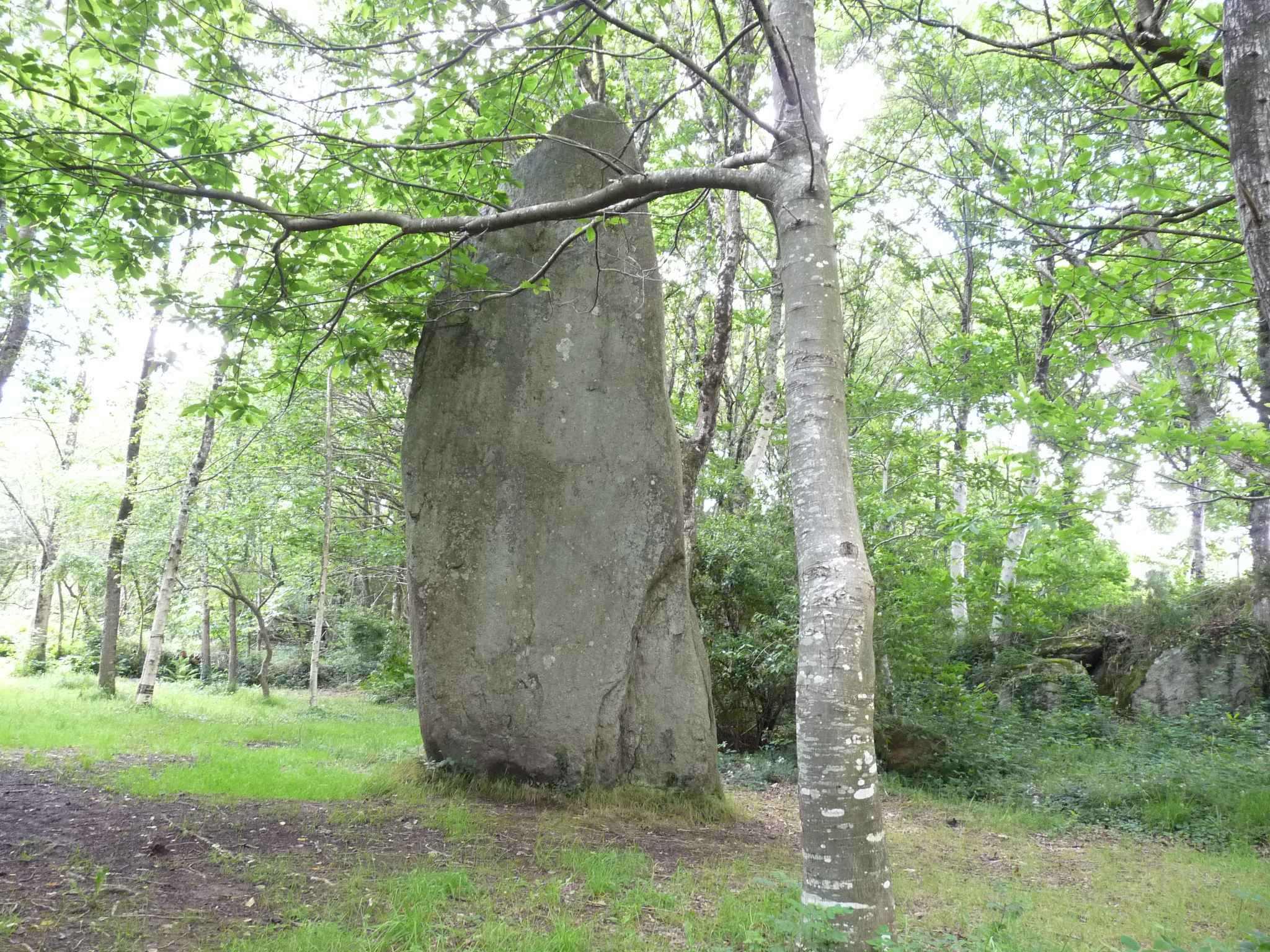
2 Menhir de Lespurit Ellen
Dans une vallée accessible uniquement par un sentier piétonnier, on trouve, cachés et non loin de la rivière comme ils sont souvent situés, deux menhirs : l'un, debout, fait 7,60 mètres de haut. L'autre, d'une longueur de 7 mètres, est couché juste à côté.
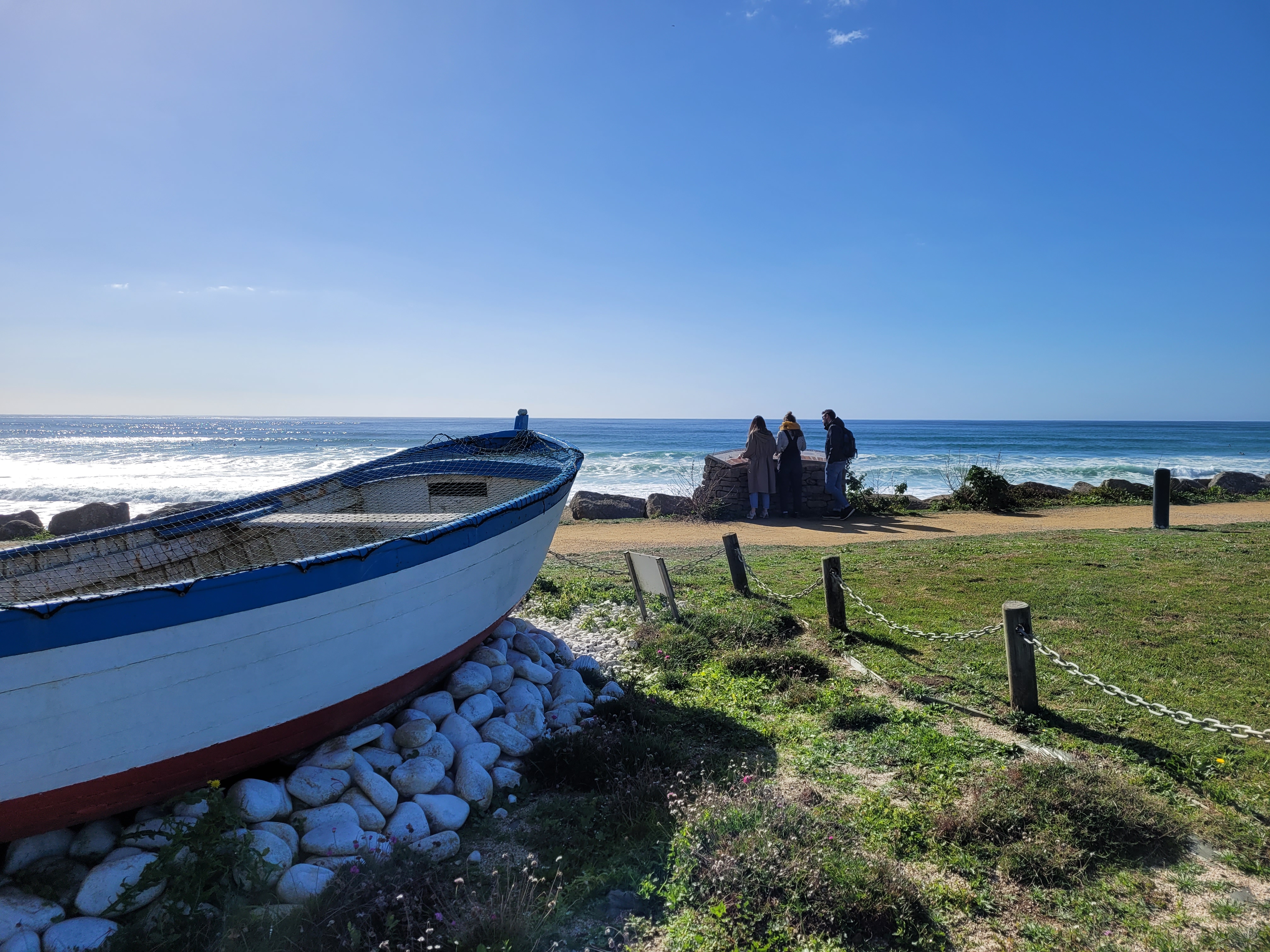
3 Chapelle de Penhors
Chapelle, bâtie entre le 13e et le 15e siècle, tout près de la mer. Son nom signifie « tête » (pen) et « roseau » (hors), parce qu’elle a été construite non loin d’un petit étang envahi de roseaux.
Tous les ans, le premier dimanche de septembre a lieu le pardon un des plus importants du pays bigouden
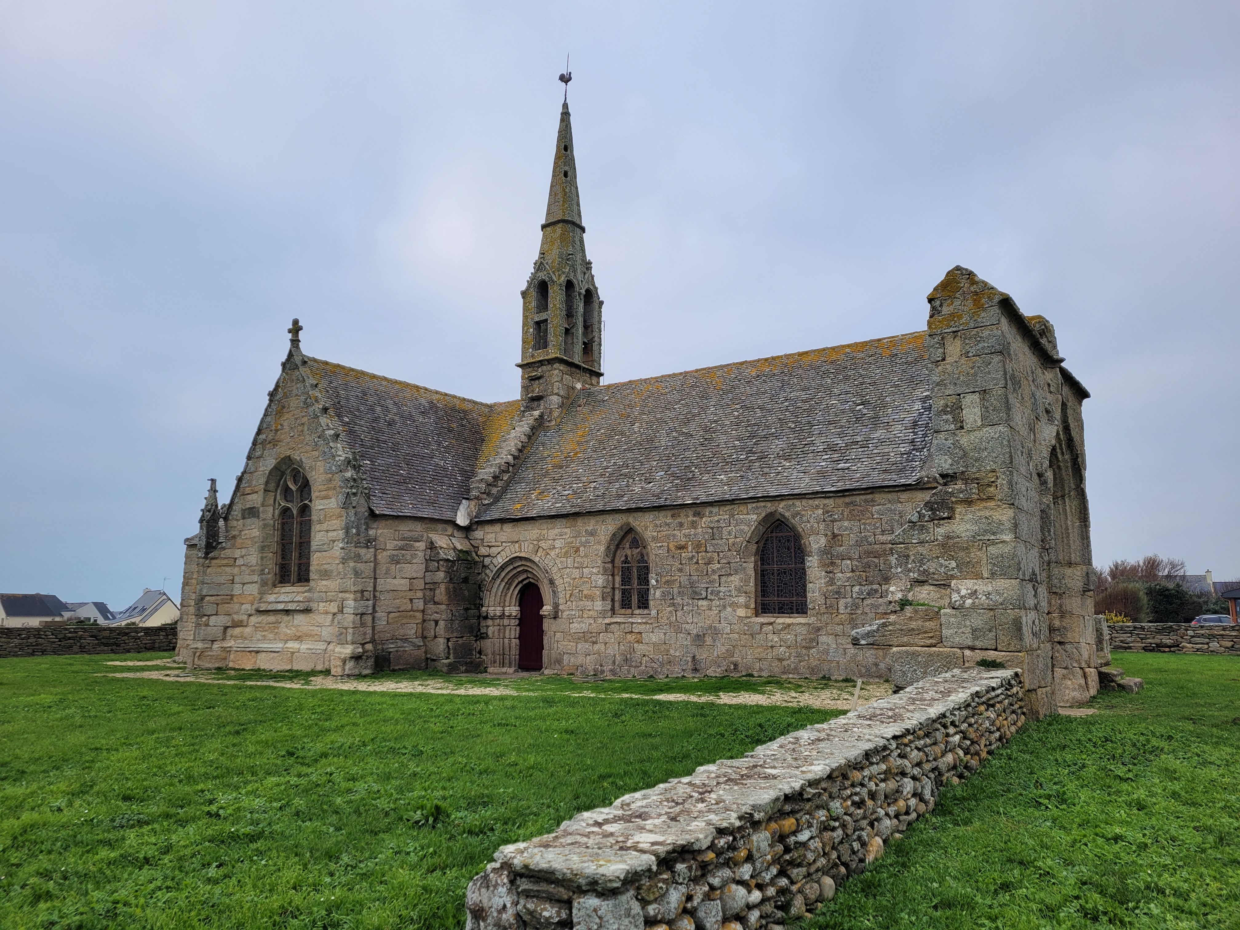
4 Eglise de Lababan
Nichée dans un petit hameau, l'église date de la fin du XIIIè siècle, et a bénéficié de plusieurs agrandissement entre le XVè et le XIXè siècle. L'édifice appartient au style architectural de Pont-Croix.
5 Menhirs de Kerglogué
Le groupe de 3 menhirs de Morvé-Kerglogué est à cheval sur le ruisseau qui sépare Plovan de Pouldreuzic,
l’un des deux menhirs de Kerglogué étant couché près du ruisseau.
Practical information
Address of departure
Place Corentin Hénaff 29710 PouldreuzicDowloads
GPX / KML files allow you to export the route of your walk to your GPS (or other navigation tool)